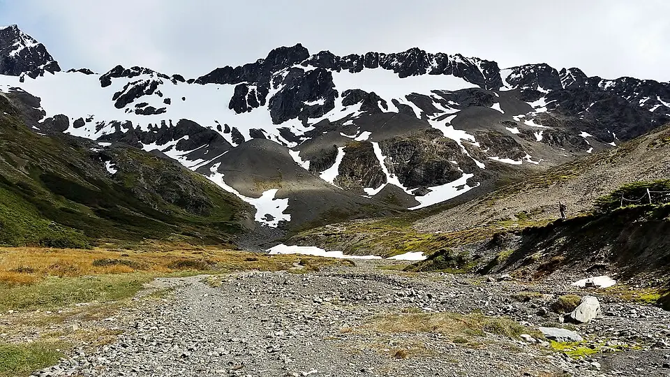
It starts almost in the city and climbs up the valley to the glacier front, with Ushuaia Bay and the Beagle Channel in the background.
It's cold up top even if it's mild below. The last section has loose rock.
Ushuaia

It starts almost in the city and climbs up the valley to the glacier front, with Ushuaia Bay and the Beagle Channel in the background.
It's cold up top even if it's mild below. The last section has loose rock.
Path (≈ 3.1 km on the map)▶Start★Destination: lake, viewpoint or summit
Path calculated on OpenStreetMap trails: it's a guide, always follow the trail markings and the official map. © OpenStreetMap contributors (ODbL), routes calculated with BRouter ↗
It updates itself every hour. It's for the trail's map point, at the elevation shown above: higher up it's colder (about 6 °C less per 1,000 m) and windier. Gusts over 70 km/h are highlighted. Before you go, check with park rangers. Data: Open-Meteo.com (CC BY 4.0).
This is a day hike: there's no hut along the way.
9.0 on Hostelworld with over 1,500 reviews.
9.1 on Hostelworld with almost 700 reviews.
Boutique hotel facing the channel.
Chosen for location and reviews. Source: Hostelworld: hostels in Ushuaia ↗
Round-trip distances and elevation gain are approximate. Before you go, check with park rangers or the local information office.