Very easy
No reports
Distance8 kmone way
Elevation gain+100
Time3–4 h
SeasonOct–Apr
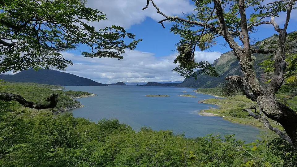
Follows the Beagle Channel coast between Ensenada Bay and Lapataia, through guindo forest and pebble beaches.
It's one-way: arrange your return from Lapataia.
Tierra del Fuego National Park
Follows the Beagle Channel coast between Ensenada Bay and Lapataia, through guindo forest and pebble beaches.
It's one-way: arrange your return from Lapataia.
Path (≈ 9.1 km on the map)▶Start
Path calculated on OpenStreetMap trails: it's a guide, always follow the trail markings and the official map. © OpenStreetMap contributors (ODbL), routes calculated with BRouter ↗
It updates itself every hour. It's for the trail's map point, at the elevation shown above: higher up it's colder (about 6 °C less per 1,000 m) and windier. Gusts over 70 km/h are highlighted. Before you go, check with park rangers. Data: Open-Meteo.com (CC BY 4.0).
This is a day hike: there's no hut along the way.
9.0 on Hostelworld with over 1,500 reviews.
9.1 on Hostelworld with almost 700 reviews.
Boutique hotel facing the channel.
Chosen for location and reviews. Source: Hostelworld: hostels in Ushuaia ↗
Round-trip distances and elevation gain are approximate. Before you go, check with park rangers or the local information office.