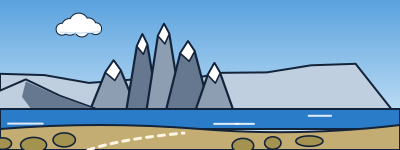
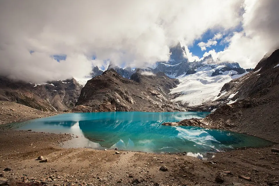
The Fitz Roy postcard. A long, gradual route to Poincenot and a very steep final kilometer up the moraine.
Leave early to see sunrise over the Chaltén. The final section closes with snow or extreme wind.
El Chaltén

The Fitz Roy postcard. A long, gradual route to Poincenot and a very steep final kilometer up the moraine.
Leave early to see sunrise over the Chaltén. The final section closes with snow or extreme wind.
Path (≈ 12.5 km on the map)▶StartHut or campsite (tap it to see the name)★Destination: lake, viewpoint or summit
Path calculated on OpenStreetMap trails: it's a guide, always follow the trail markings and the official map. © OpenStreetMap contributors (ODbL), routes calculated with BRouter ↗
It updates itself every hour. It's for the trail's map point, at the elevation shown above: higher up it's colder (about 6 °C less per 1,000 m) and windier. Gusts over 70 km/h are highlighted. Before you go, check with park rangers. Data: Open-Meteo.com (CC BY 4.0).
There are no huts: you camp at the park campsites (Poincenot or Río Blanco). Check the rules at the visitor center.
Common areas where it's easy to meet trail partners.
Comfortable, with breakfast so you can head out early.
A spa to recover after long treks.
Chosen for location and reviews. Source: Nomadic Samuel: where to stay in El Chaltén ↗
Round-trip distances and elevation gain are approximate. Before you go, check with park rangers or the local information office.